
Measuring and Monitoring
It is important to determine if the slide is moving, and the rate of movement. Geologists use a variety of instruments to help determine if a slide is moving or not:
- Pressure sensors - rainfall amounts and groundwater
Displacement sensors - movement
Geophones - ground vibration
GPS units - movement and dimensions of the slide.

from: http://vulcan.wr.usgs.gov/Projects/CalifLandslide/Maps/landslide_monitor.html
 |
| Testing the solar-powered radio telemetry system used for real-time monitoring. -- USGS Photo by Mark Reid, USGS/Menlo Park |
 |
| Measuring landslide movement using a surface extensometer. Extensometer crosses several scarps (breaks that expose the reddish soils) at the head of the landslide. -- USGS Photo by Richard LaHusen, USGS/CVO |
 |
| Caltrans drill rig installing subsurface extensometers (to measure landslide movement) and pore-water pressure sensors (to measure ground-water conditions) in the Mill Creek landslide. -- USGS Photo by Mark Reid, USGS/Menlo Park |
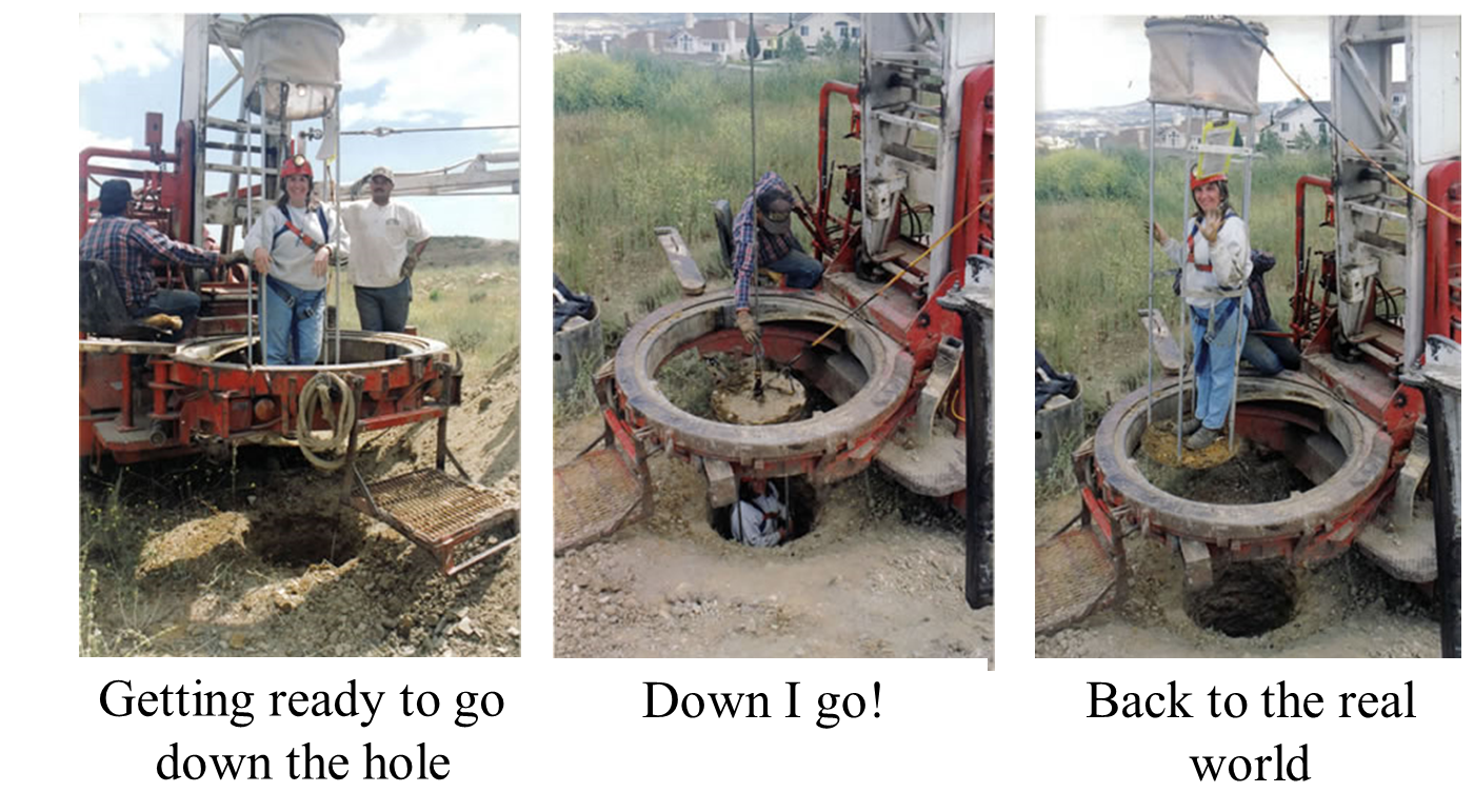
Sometimes it is necessary to go below ground to see how the slide is behaving, and where the slideplane is. Special holes large enough for a person in a lift cage to fit in are drilled to a few feet below where the base of the slide is estimated to be. Then a hapless young geologist (like me!) gets sent down to map the borehole. It is dirty, messy fun!
|
||
| Professor Sonjia Leyva | |
| CSULA Department of Geosciences and the Environment | |
| Pasadena City College Department of Geology | |