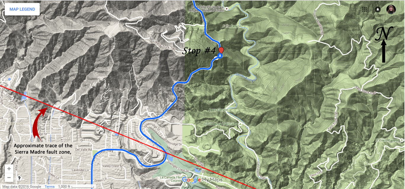
This turnout is a good place to see Arroyo Seco as it exits the San Gabriel Mountains. Notice how the valley is no longer a deep V shape, and the canyon floor is a bit wider. The widening of the canyon is due to two reasons: 1, the slope is not as steep as the Arroyo Seco exits out into the foothills, so there is not as much downward erosion; 2, pauses in the uplift of the mountains due to movement along the Sierra Madre Fault Zone caused the river to erode more laterally = back and forth) than vertically = down), creating a slightly wider floodplain that was left high and dry as uplift restarted.
Looking south as the Arroyo Seco exits the San Gabriel Mountians at the La Cañada overlook along Angeles Crest Highway. The oak trees at the bottom of the canyon mark the location of the Arroyo Seco. The canyon is still V-shaped, although it is becoming wider as the stream's elevation lowers.
|
||||||||

